Hackensack University Medical Center Addresses Community Sidewalk Accessibility
Crowd-sourced Project Sidewalk virtual tool maps sidewalk obstructions to guide people with disabilities or access challenges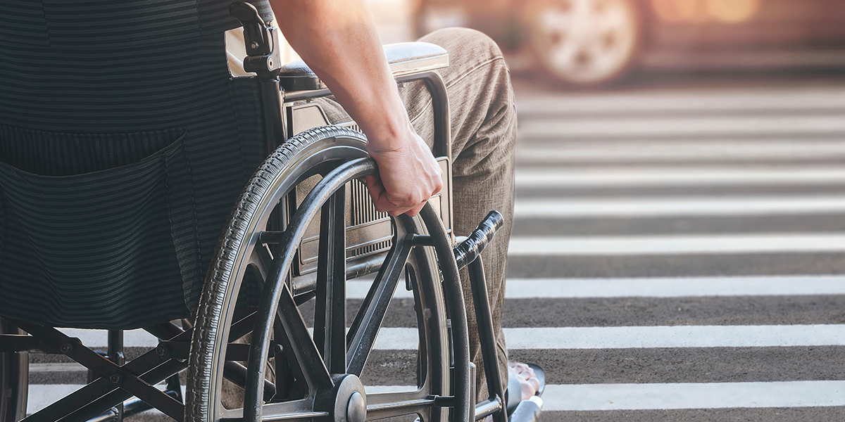
Hackensack University Medical Center is partnering with Project Sidewalk and researchers at University of Washington to help address sidewalk accessibility challenges for people with physical and functional disabilities using wheelchairs and walkers, but also children on bicycles and parents pushing strollers in the Oradell, NJ, community.
The city contains 60 to 80 miles of streets. However, only about half have sidewalks, some of which are obstructed by landscape designs, inappropriate curbside ramps, construction items such as utility poles or bus stop shelters and outdated or damaged pavements.
This project is spearheaded by members of the Bergen County Community Council of the National MS Society led by Lisa Stolarz, M. A. Patient Experience Advisor ,Office of Patient Experience at HUMC, and including volunteer leaders, Kie Fujii, a medical student at Hackensack Meridian School of Medicine, and Dr. Florian Thomas, founder of the MS Center and chair of Department of Neurology and Neuroscience Institute at Hackensack University Medical Center, and founding chair and professor of Neurology at Hackensack Meridian School of Medicine. The project is also supported by the Oradell Girl Scout troop. Using a Google Maps-based software developed at University of Washington, the team categorized sidewalk obstructions.
“I have long been sensitized to noticing sidewalk obstructions, be that by overgrown hedges, concrete panels displaced by tree roots, lack of curb cut-outs, lamp posts or traffic signs. These may make their use by people with functional needs & disabilities dangerous or impossible”, says Dr. Thomas.
“With the software developed by our collaborators at University of Washington we now have the tools to document & quantitate such obstructions. That is instrumental to effecting change at the level of elected & appointed municipal government officials,” adds Lisa Stolarz.
Although there are benefits to examining the sidewalks in-person and taking pictures, the sheer number of local streets, as well as challenges from inclement weather, makes a virtual approach advantageous. The virtual mapping process has proven an efficient, effective means to gather data on areas needing improvement and bring awareness to municipal officials.
Learn more about innovative neurological care at Hackensack University Medical Center.